France from above in CIR
Publié le 5 septembre 2026
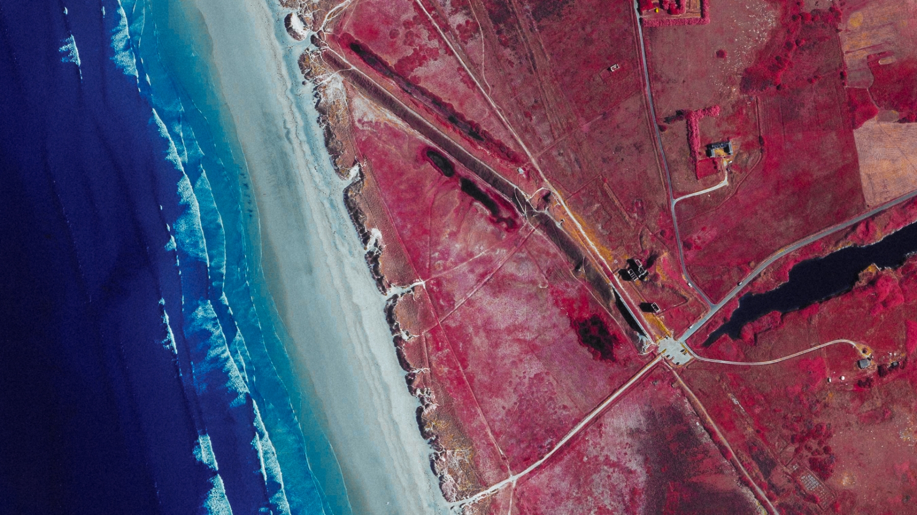
Géoportail, the French government's official maps website has the entire territory covered in Infrared/Red/Green aerial photopgrahs.
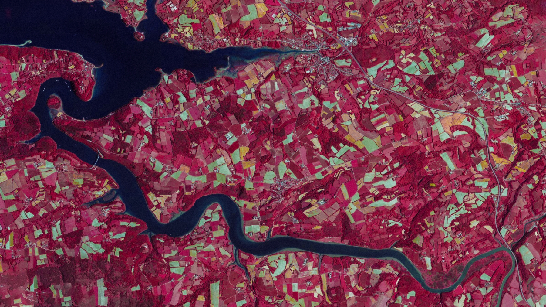
The definition is excellent. The images come from a 4-channel multi-spectral camera (visible + 1 band of infrared) mounted on a plane that fies over the country. You can switch between visible and CIR images seamlessly.
The primary goal of this database is to watch the forests and the vegetation so the images have a white balance that is pretty far off, leaning strongly on the cyan side, typically like some Aerochrome aerial shots I've seen.
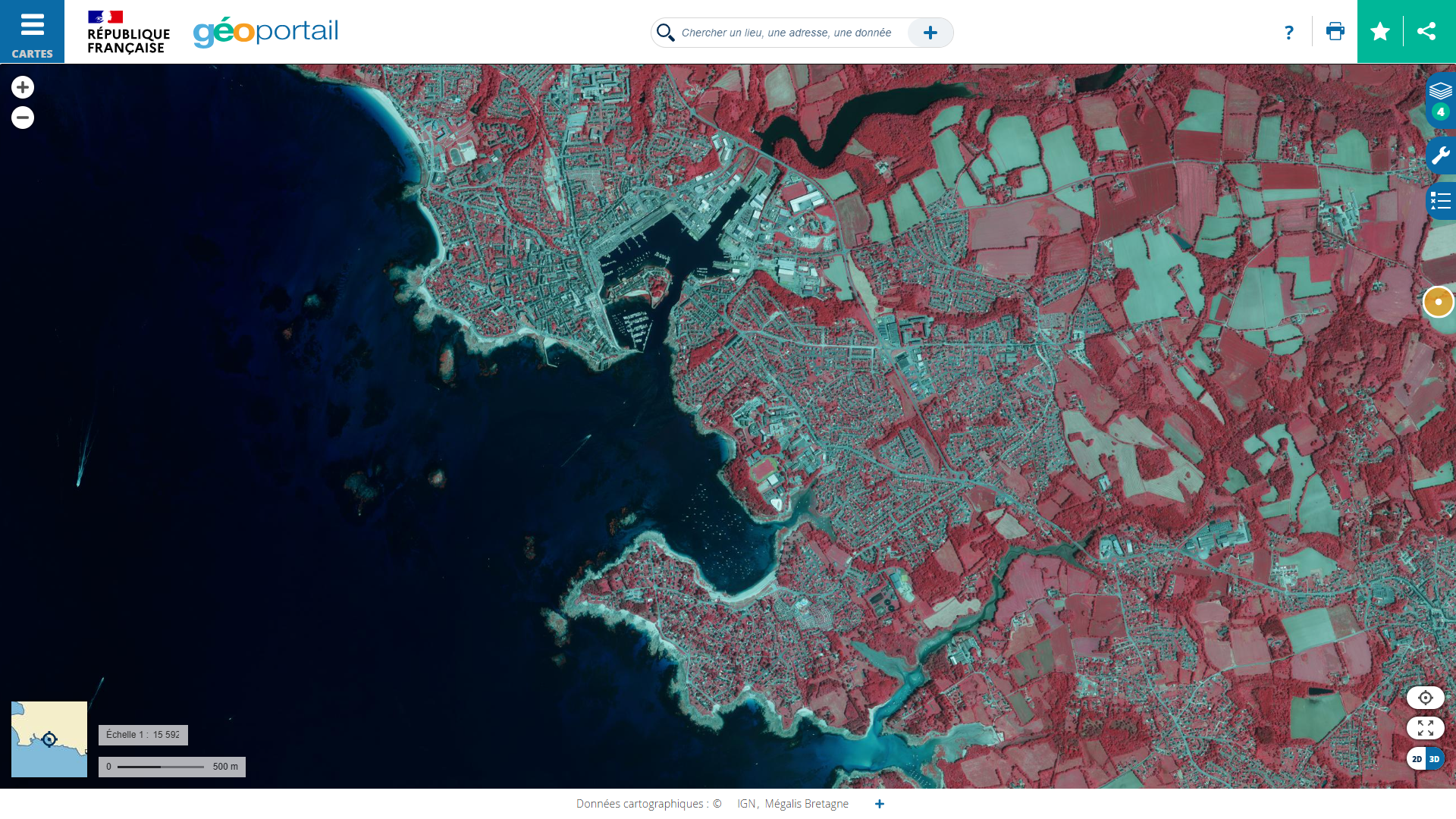
I'm having a lot of fun remastering the images, photoshoping out the UI, correcting the white balance and bringing out the yellows that you can't really see in the originals.
Here is my favourite beach in Brittany, it's huge and filled with remnants of WWII. A great place for aerial views.
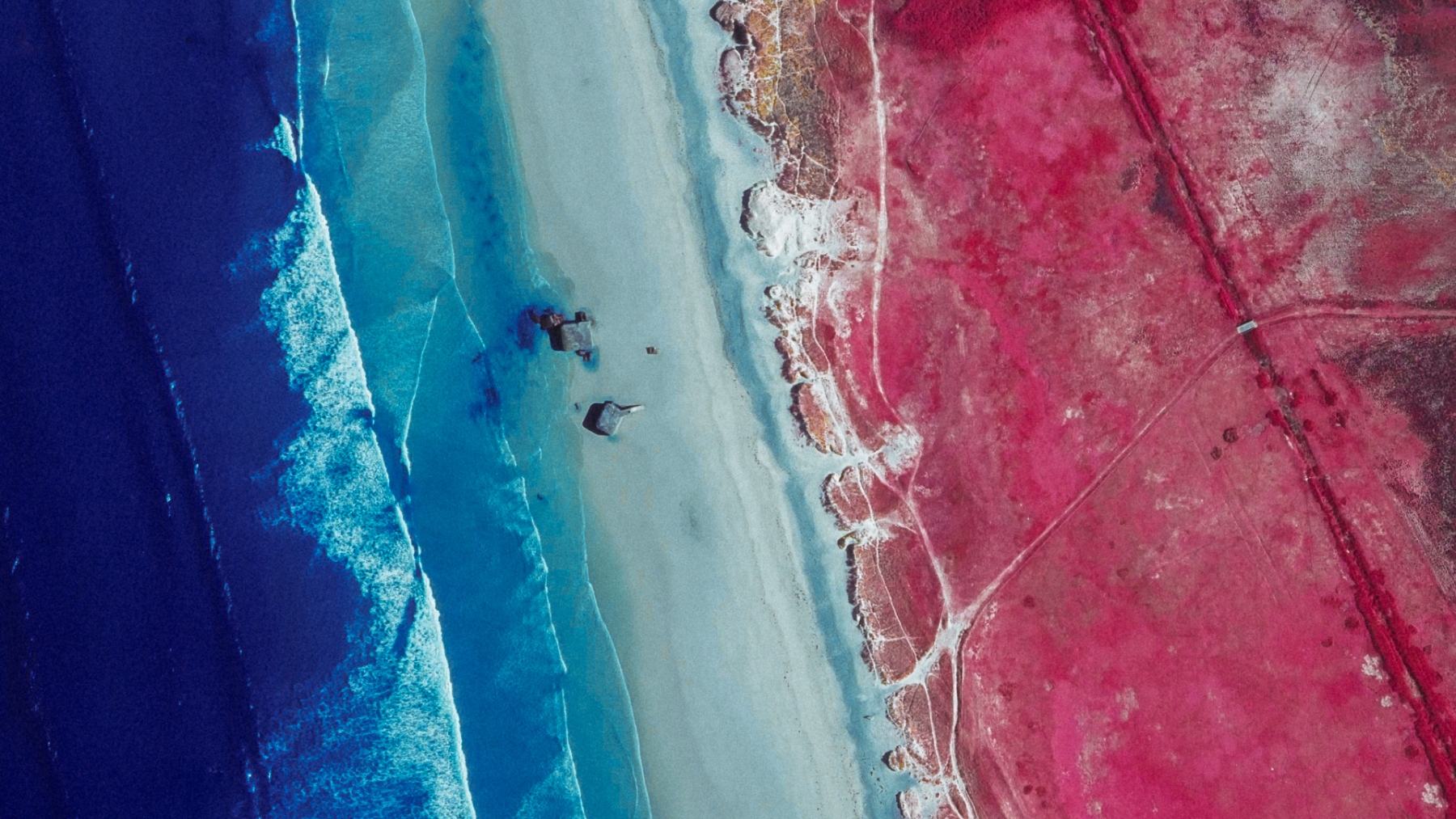
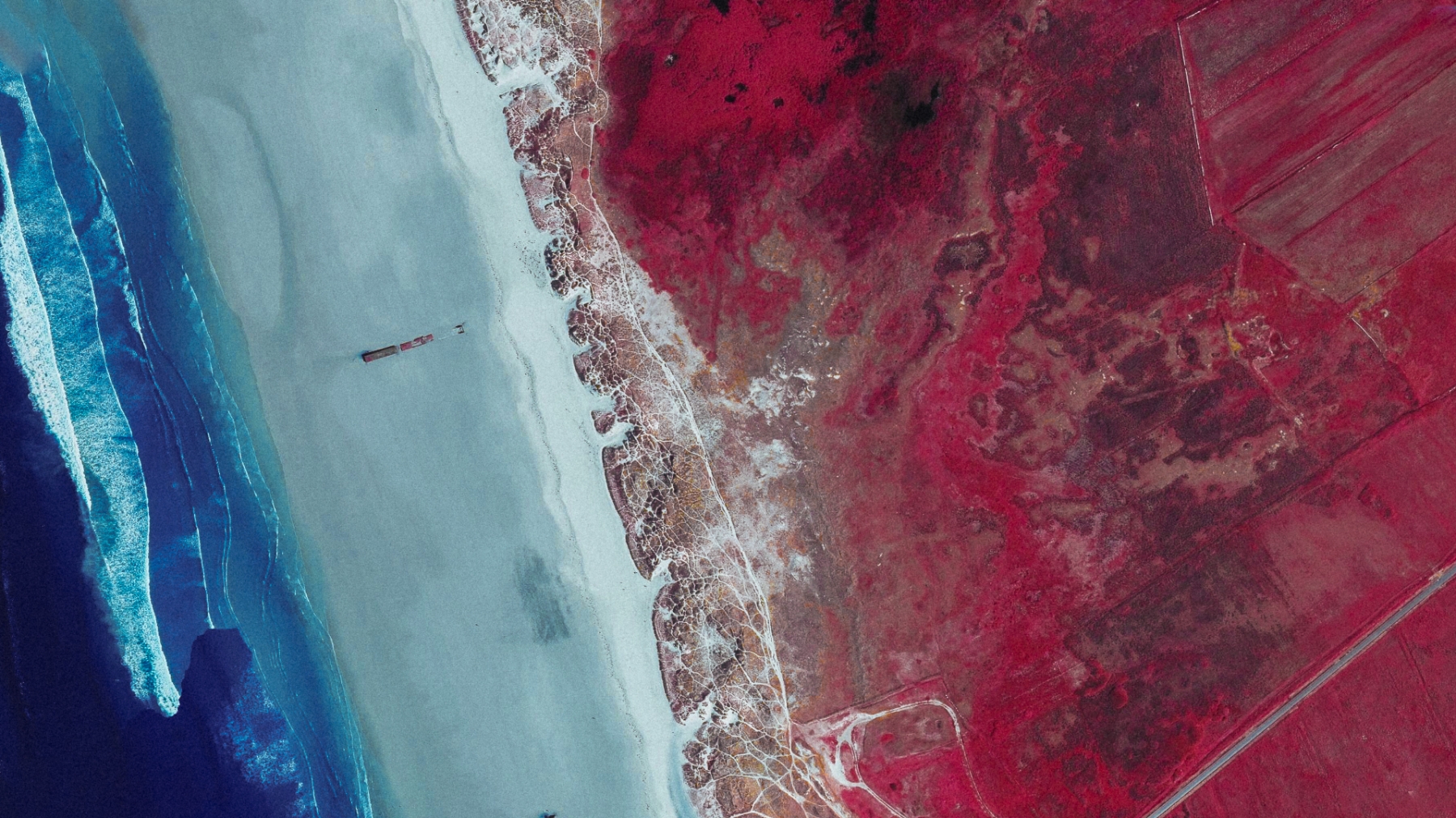
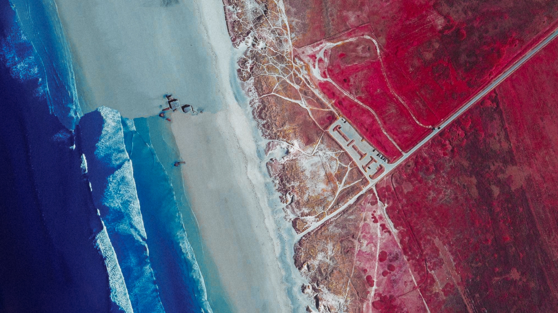
On this last one you can see the stitches between the different shots.
The following shot are from a quarry that I visited a few times :
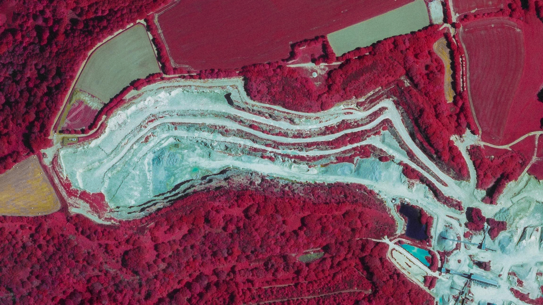
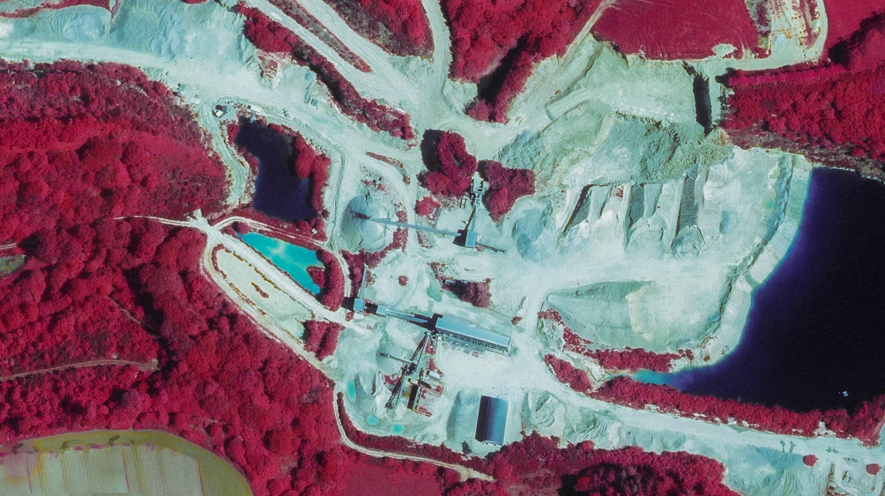
With a 4K screen I could take screenshots 4 times bigger. If I ever get one someday I'll do a project around these images.
Commentaires
Aucun commentaire pour le moment. Sois le premier à réagir.